SatOC C_RISe

C-RISe Project

NOC logo C_RISe

C-RISe (for Coastal Risk Information Service) will deliver, through an international partnership with Mozambique, Madagascar and South Africa; access to satellite-derived data on sea level, wind speed and wave heights. The goal is to enable stakeholders to use this information to improve socio-economic resilience to coastal hazards associated with sea level changes such as inundation, floods, storm damage, wetland loss, habitat change, coastal erosion and saltwater intrusion.

C-RISe is a development of Sea Level Space Watch (SLSW), a project funded by the UK Space Agency (UKSA) under the International Partnership Programme, which delivers information on sea level trends at the UK coast, enabled by recent advances in coastal altimetry data processing. C-RISe will expand this service to provide additional data sets (wind and wave climatologies), and increased temporal and spatial coverage; 24 years of previously unavailable satellite observations, over the regional area of Mozambique, Madagascar and South Africa.

Project impact will be assessed using a pre-identified set of use cases, each led by a different project partner, and through the delivery of hands-on training and use case coaching. This is designed to embed the skills needed to work with satellite data into the partner organisations for the long term. C-RISe will demonstrate the value that satellite data can bring to regions with sparse in-situ observations, and provide the skills to adopt space technology for more effective coastal management and positive socio-economic development. Project funded by UKSA under the International Partnership Programme (IPP).

The official project web page is hosted by NOC at www.c-rise.info

A Case Study describing the project and its outcomes is available here

PASS-SWIO: PASS-SWIO is a project building on recommendations from C-RISe and funded by ESA under the ESA Science for Society programme, which aims to establish a sea level monitoring system for Madagascar based on the installation and deployment of a low-cost relocatable tide gauge (Portagauge). More details can be found on the PASS-SWIO project web page

Latest news

(November 2022) Scientific Publication: A paper based on C-RISe data has been written by project colleagues in Mozambique (UEM and INAHINA) and published in the Journal of Marine Science and Engineering: Validating Sea-Level Altimetry Data against Tide Gauge for Coastal Risk Analysis in Mozambique, 2022, Nehama, F, Z Veriua, C Maueua, A Hibbert, F Calafat, P Cotton,  J. Mar. Sci. Eng. 2022,10,1597. https://doi.org/10.3390/jmse10111597

(September 2021) Science Policy Briefing Notes: Three science policy briefing notes have been issued by C-RISe.

Update to C-RISe data set: An update to the C-RISe data set was released in March 2021, which includes an additional year on the climatology data, and sea level data from Envisat and AltiKa / SARAL. Click here for details. Updated python software has also been released, and guidelines are provided here.

email d.cotton.at.satoc.eu if you would like a copy of the data.

New Bilko Tutorials: Two new Bilko tutorials have been produced for C-RISe. They cover analysis of SST data to look at seasonal and inter-annual variability. Click here for details

Near Real Time Data: The C-RISe Team continues to maintain its Data demonstration page showing near real time satellite wind and wave data together with present forecast conditions

C-RISe at Fall AGU, San Francisco, USA, 3-13 December 2019: The C-RISe team made a presentation in an "elightning" poster at this meeting. Click here for a copy of the presentation.

C-RISe at WIOMSA's 11th Scientific Symposium, University of Mauritius 1-4 July 2019: The C-RISe team had a number of posters and presentations at this meeting, and also organised a mimisymposium: "Satellite Data for Coastal Risk Applications - building capacity in the South West Indian Ocean." Click here for a copy of report.
Links to poster presentations are given below:

C-RISe at Mozambique's "Growing Blue" Conference, Maputo, 23-24 May 2019: The C-RISe team attended this meeting, and made a short presentation. Click here for a link to the meeting website.

C-RISe at ESA Living Planet, Milan, 13-17 May 2019: The C-RISe team made a presentation at this meeting. Click here for a copy of the presentation.

C-RISe at EGU, Vienna, 7-12 April 2019: The C-RISe team made a presentation at this meeting. Click here for a copy of the presentation.

C-RISe data portal : CSIR have developed a data portal for searching, viewing and accessing C-RISe data sets. Go to https://ocims.csir.co.za/crise/

C-RISe at ECSA 57: "Changing Estuaries, Coasts and Shelf Systems - Diverse Threats and Opportunities, Perth, WA, Australia - 13-6 Sept, 2018. The C-RISe team made a presentation at this meeting. Click here for a copy of the presentation.

C-RISe at the Sea Level Futures Workshop, University of Liverpool, 4-5 July, 2018. We were pleased to welcome project partners from INAHINA, Mozambique to this meeting. There were two poster presentations on C-RISe work:

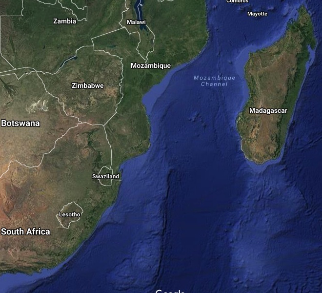
Available for Download:

The CRISe altimetry reference product (Coastal Geophysical Data Record) is now available for download by ftp at:

For Jason1: ftp://ftp.noc.soton.ac.uk/pub/nayoub/CRISe/J1_ref
For Jason2: ftp://ftp.noc.soton.ac.uk/pub/nayoub/CRISe/J2_ref
For Jason3: ftp://ftp.noc.soton.ac.uk/pub/nayoub/CRISe/J3_ref

and for the time series at co-located points along track:
ftp://ftp.noc.soton.ac.uk/pub/nayoub/CRISe/collocated_j1j2j3

Figures showing the CRISe Area of Interest with overlaid satellite tracks

Also see the UK Space Agency International Partnership Programme web pages

Study region

Mozambique channel image

C-RISe Madagascar Workshop

C-RISe held an end-of project workshop in Antanarivo Madagascar, on 11-12 February 2020. The C RISe team was pleased to welcome 45 participants to the workshop, which reviewed the project and discussed coastal risk priorities for decision makers; how satellite data can complement other data sources to address priorities; and how to increase local capacity to use satellite data in providing scientific support in strategy development and management of coastal areas. The Workshop report is available here

Presentations

Day 1

Day 2

C-RISe Training Workshops

First Training Workshops: "Wind, Wave and Sea Level Information from Satellites."

  • 26-30 October 2017. Universidade Eduardo Mondlane, Maputo, Mozambique (Workshop Report)
  • 27 November - 1 December 2017. Direction Générale de la Météorologie, Antananarivo, Madagascar (Workshop Report)

Second Training Workshops: "Tools to Apply Satellite Data to Coastal Risk" (Course Overview)

  • 1-5 October 2018. Centre National de Recherches Océanographiques, Nosy Be, Madagascar
  • 8-12 October 2018. Universidade Eduardo Mondlane, Maputo, Mozambique
  • 15-19 October 2018. Direction Générale de la Météorologie, Antananarivo, Madagascar

Training Resources

Presentations

C-RISE Software Guidelines and Support

Project timescale

Phase 1 (December 2016 - November 2017):
Preparation Phase: Service and Use Case Specification;
Data Identification, Acquisition and Processing;
Training Preparation.

Phase 2 (November 2017- November 2018):
Delivery Phase: Service Implementation and Delivery; Product Validation; Training Workshops;
Use Case Application and Evaluation.

Phase 3 (November 2018- March 2020):
Review and Roadmap Phase: Evaluation; Review; Regional Showcase; Road Map and Business Case for Future Implementation:

Legacy Phase (March 2020 - March 2021):
Legacy Evaluation; Additional Training Workshop and Resources.
Outreach material: Case Study and Policy Notes.

Data Set Additions: Near Real Time Data; Extended climatologies to 2020; Improved Sea Level Data Coverage.

Project team

National Oceanography Centre, UK
Satellite Oceanographic Consultants Ltd, UK
Bilko Development Ltd, UK
Council for Scientific and Industrial Research, South Africa
Instituto Nacional de Hidrografia e Navegacao, Mozambique
Universidade Eduardo Mondlane, Escola Superior de Ciencias Marinhas e Costeiras, Mozambique
Direction Générale de la Météorologie, Madagascar
Centre National de Recherches Océanographiques, Madagascar
Institut Halieutique et des Sciences Marines, Madagascar
WWF Madagascar Country Office
Conservation International, Madagascar


© Satellite Oceanographic Consultants Ltd 2020